GIS as a tool for the social sector
Explore how GIS can empower organisations in mapping, visualising and analysing data related to socio-economics, health, education, demographics and natural resources
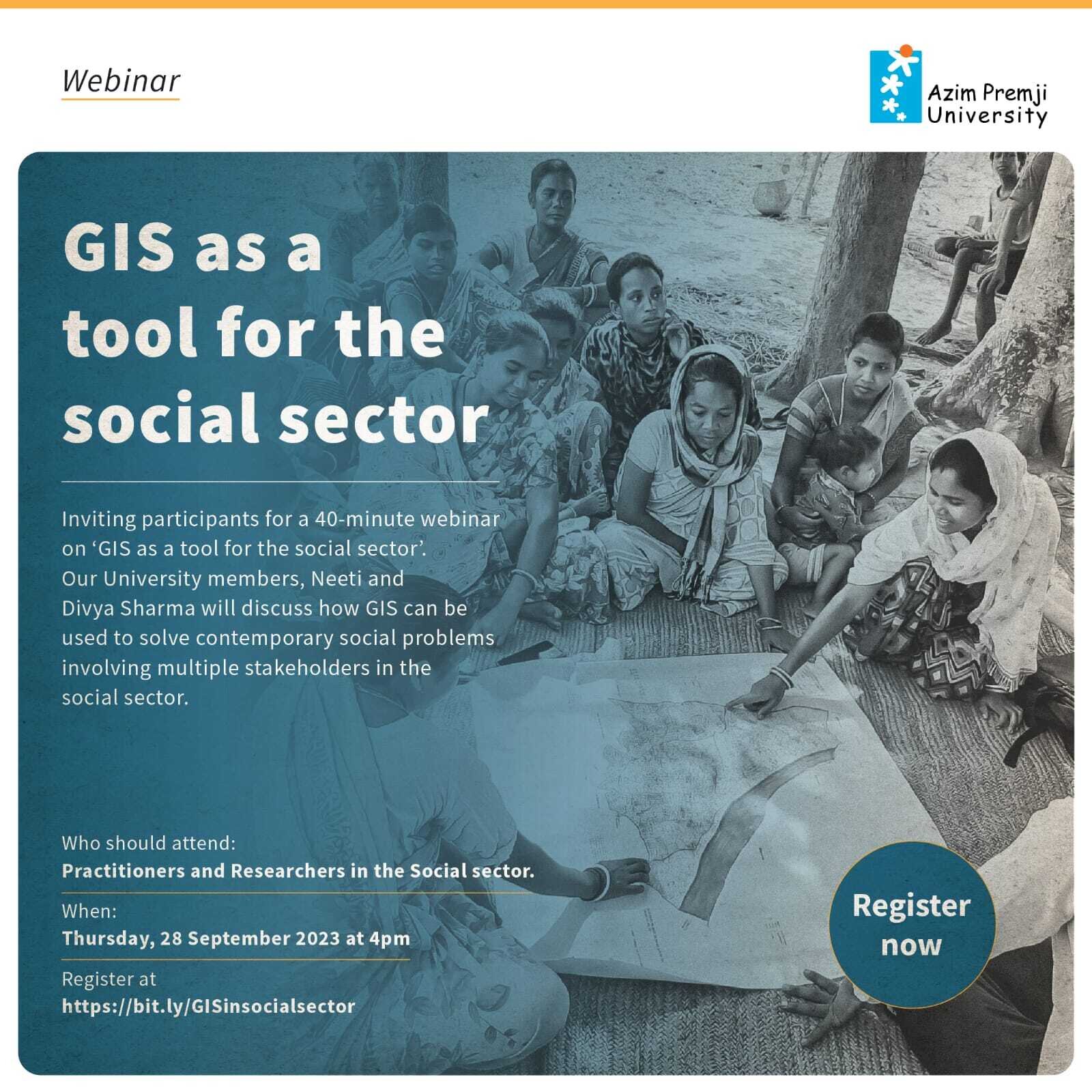
We invite participants for a 40-minute webinar, by Neeti and Divya Sharma, who will discuss how GIS can be used to involve multiple stakeholders and solve contemporary social problems by taking the audience through a case.
GIS is more than just making a map. With the capability of seamless integration of a wide array of spatial and non-spatial data and spatial analyses, GIS can be used to understand patterns, relationships and trends related to the population and the surrounding landscape.
In this talk, we will showcase how GIS can empower organisations in mapping, visualising and analysing data related to socio-economics, health, education, demographics and natural resources
The analyses can assist in identifying underserved areas, allocating resources and tailoring interventions to specific community needs. Spatial insights can be of assistance in informed decision-making, enabling specific strategies for dealing with issues related to food security, health care and school accessibility, disaster response and overall sustainable development.
This webinar throws light on how social sector organisations can use multiple freely available tools to make more informed decisions.
Who should attend: Practitioners and researchers in the social sector